We are Spatial Data Consultants and 3D Surveying and Measured Specialists
SPATIAL DATA is the essential starting point of any successful project which has a physically relationship to anything in the real world.
With our expert team use our equipment, software and innovations to survey, capture, measure, and monitor your project.
At Terra Measurement, we aim to offer tailor-made survey and 3D measurement solutions, providing intelligent and sustainable data particular to each project, specification and client.
We provide an extensive range of professional surveying, measurement and engineering services. Using our quality and experience is guaranteed to be an asset to the life cycle of any project.
We believe the best results are achieved through collaborative approach and developing trusting business relationships.
The result? – The optimum survey or dataset is provided by Terra Measurement Limited, enabling increased project efficiency and a potential reduction of overall project costs.
Trust the expertise and experience of Terra Measurement Limited to create your survey specification and provide the data the project needs.
Our services
Topographical and Engineering Surveys
Measured Building Surveys
Underground Utilities Surveys
3D Reality Capture
UAV Drone Surveys
3D Laser Scan Surveys and 3D Measured Building Surveys across a wide range of industries
RAILWAYS & HIGHWAYS
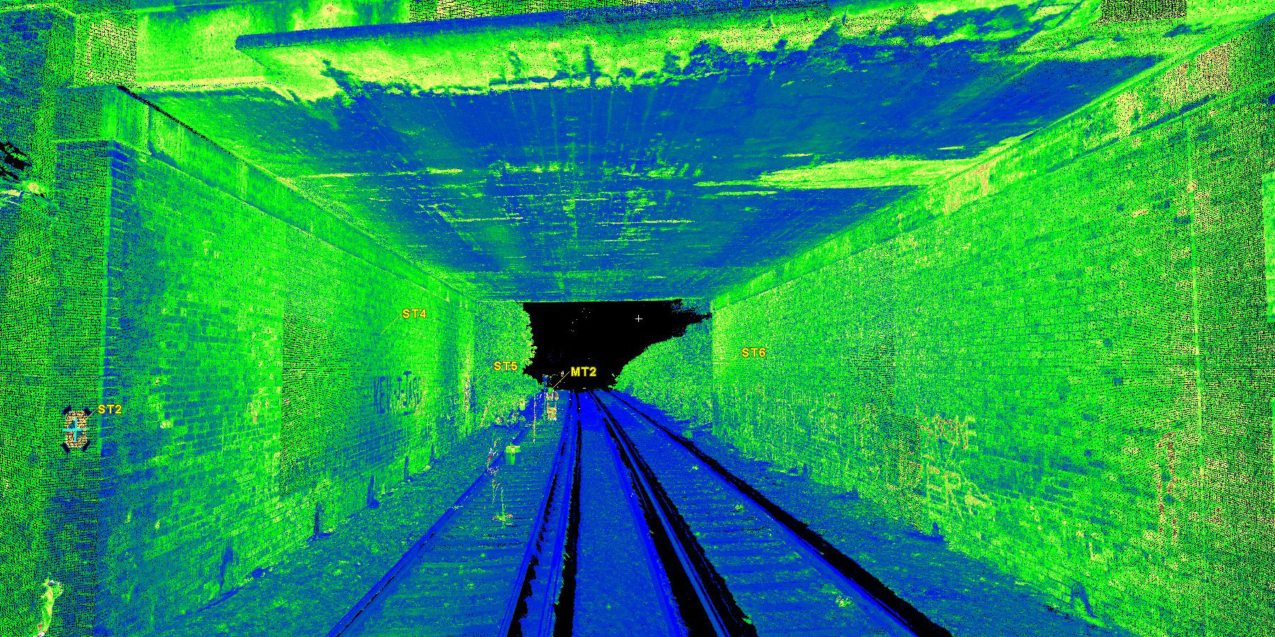
Rail and Road Infrastructure projects require accurate measured surveys at the start, and then ongoing measurement and engineering throughout each project. More
HERITAGE
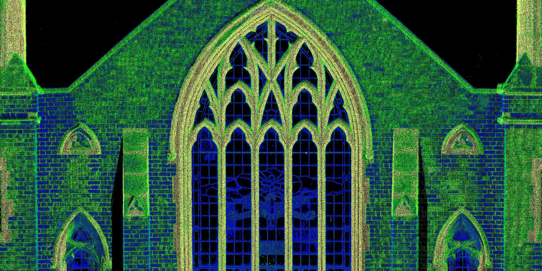
All Heritage and Conservation projects benefit from accurate measured records and 3D Laser Scanning is an important tool in the preservation and documentation process. More
MINERAL, OIL & GAS EXTRACTION
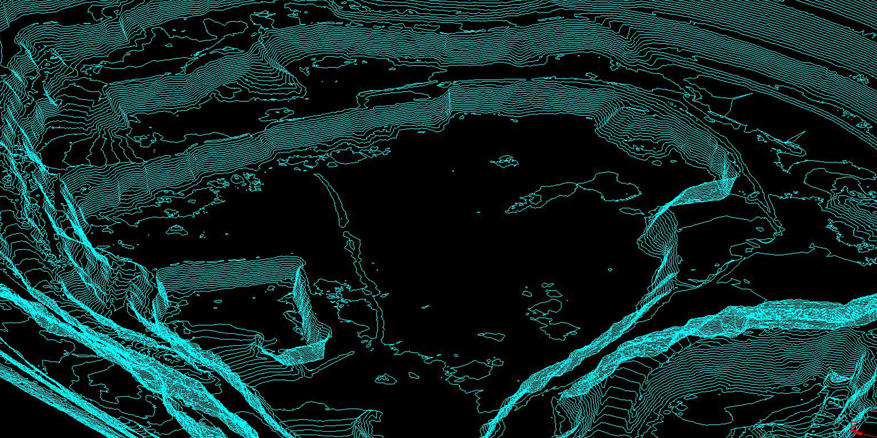
Extraction and Exploration relies on survey and large scale mapping data for models, licences and planning permission, or as continuing measurement of ongoing schemes. More
CONSTRUCTION
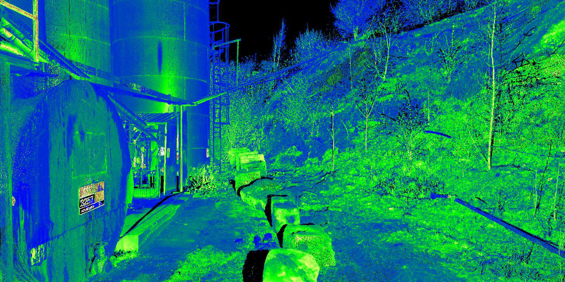
Survey and measurement data is a key element for all Civil and Structural Engineering projects. These include; remediation, re-design, new infrastructure and new-build. More
URBAN & RURAL DEVELOPMENT
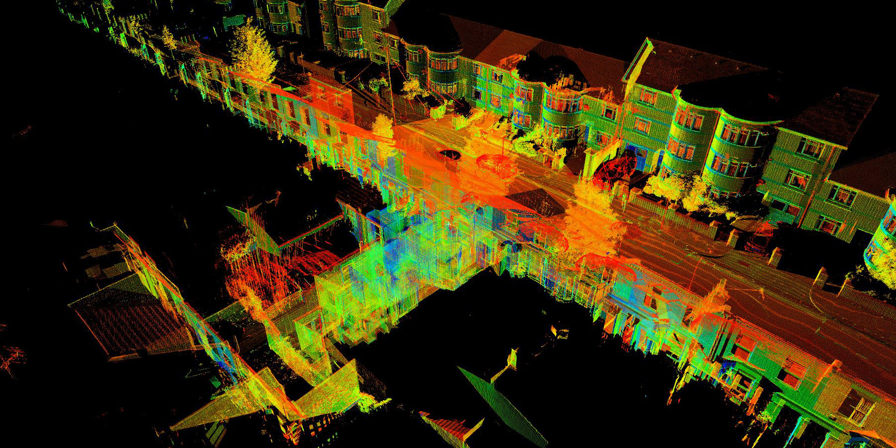
We work with architects on new build to refurbishment and adaptation projects. Interior design schemes benefit from measured surveys so that all features and interactions work. More
What we do
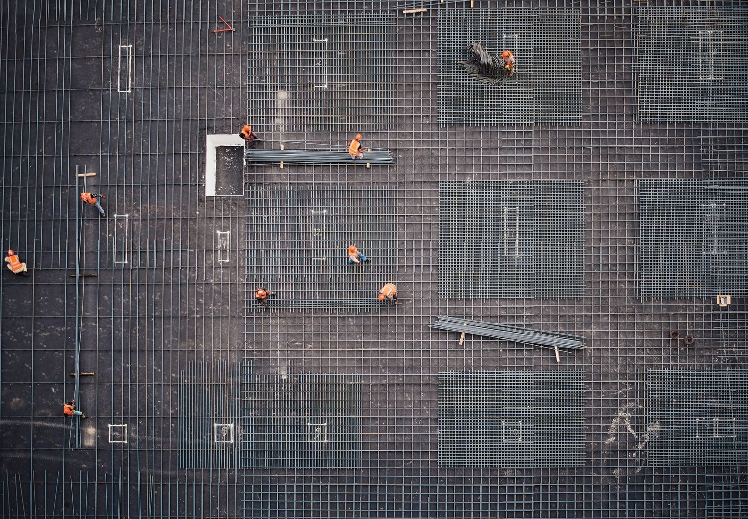
We can help at any stage of your project with the processes below:
“It is possibly the single most essential, cost effective and budget saving part of any development, assessment or design process as it is the 3D spatial information that EVERYTHING will be designed to and constrained by”Andy Beardsley CEO
