Topographical Surveys – Essential for any type of land-based investigation, design or development
Topographical Surveys are also known as Topographic Surveys, Detail Surveys, Terrain Surveys, Contour Surveys.
Topographical Surveys are the essential starting point for all 'land-based' projects and designs to provide accurate 2D and 3D information.
Topographical Survey deliverables are provided at any scale, level of detail, and in any required data formats.
Our Surveys are based upon high accuracy survey control related to the appropriate coordinate system to ensure the project flows seamlessly from beginning to end.
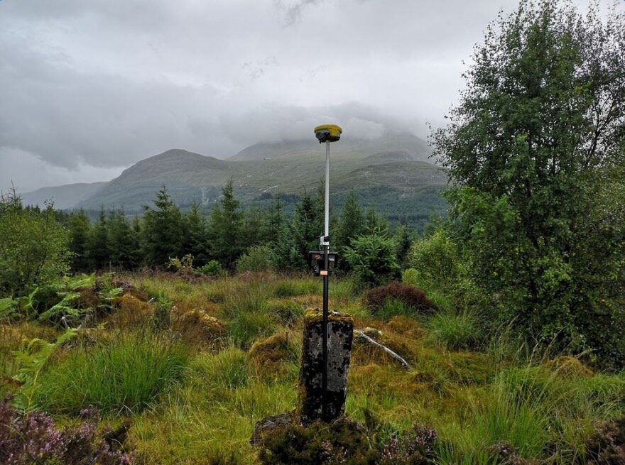
We use a range of equipment appropriately to survey land and features. These include Total Station, Global Navigation Satelite System (GNSS) Units, 3D Laser Scanner (mobile and static), UAV Photogrammetry and UAV Lidar.

All of our Topographical Surveys are expertly surveyed to provide both a 2D plan and a 3D Digital Terrain Model (DTM). A DTM is also called a Ground Model, Surface Model and Digital Elevation Model.
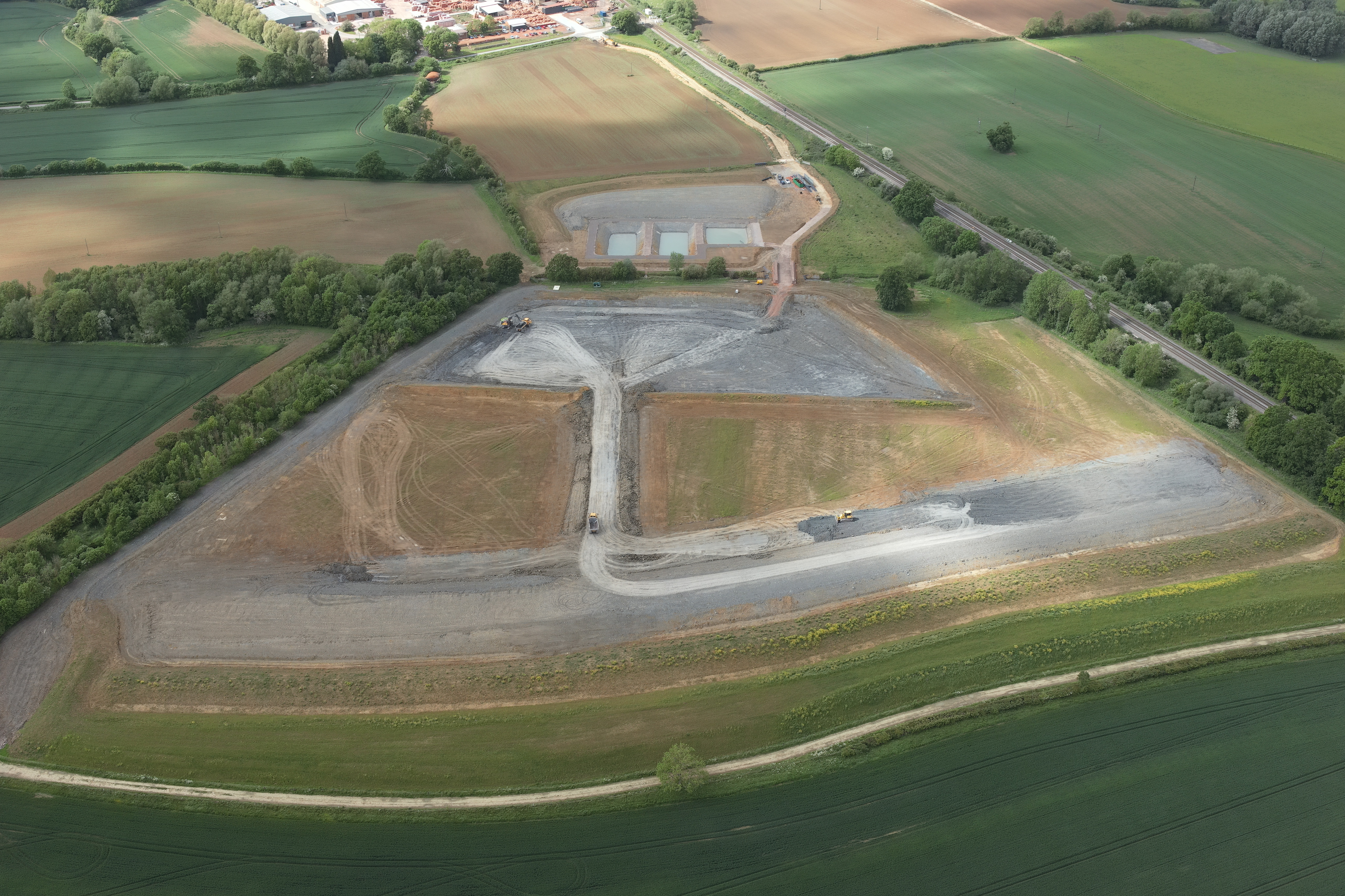
Our Digital Terrain Models are used to calculate volumes and cut and fill analysis. We can also create sections, visualisations and slope analysis.
All of our surveys are best practice and comply with RICS “Measured surveys of land, buildings and utilities” guidance. We also keep up-to-date with any other survey guidance notes provided by the RICS, Network Rail and the TSA.
Include us as part of the collaborative team at the start of your project to create the Spatial Data Strategy, Topographical Survey specification and best value for your project.
Engineering Surveys – Essential for design implementation and monitoring
Engineering Surveys or Civil Engineering Surveying, involves precise measurement or placement for construction, planning, minerals extraction and civil engineering projects.
We offer a number of different engineering survey types including:
- Setting-Out
- Slope Profile Rails
- Alignments
- Formwork
- Boundary Setting-Out
- Precision Positioning & Monitoring
- Verticality Checks
- 3D Movement Monitoring
- Area Calculation
- Grid and Level Datum Installation
- Floor Flatness Surveys
- Remote Sensing
We offer a number of engineering survey calculations including:
- Volume Calculations
- Stockpile Surveys
- Cut/Fill Analysis & Calculations
- Zone Setting-Out
- Gradient Setting Out (Batter/Slope Rails)

3D Movement Monitoring can be offered for land, roads, rail, buildings or structures.
We can adapt methods and accuracies used depending on the requirements of each project, ranging from simple slope monitoring with GNSS to precise monitoring of rail and structure with high grade total stations. This is in conjunction with our Remote Sensing using the innovative Move Solutions (see Remote Sensing)
Provide us with the project design drawings and models and we will help implement the best Engineering Survey Strategy.