Services for Rail and Highways
We harness the latest technologies and innovation alongside our expertise to provide safe and efficient survey, monitoring and digital capture of transport infrastructure. Surveys, spatial data and digital capture provides critical information and visualisation for planning, design and improvements.
Rail
Our innovation and expertise have provided a first class service to our Network Rail Primary Contractor clients since the very beginning of Terra Measurement Limited.
With our cutting-edge methods using next generation equipment, we have reduced site survey times, improved safety, and provided digital enablement and value along the way.
We participate in the scoping and planning of rail survey projects with our experience to help ensure everything can be facilitated and completed efficiently within the possessions or times allocated.
We have cost effective, safety critical staff when required through our strategic partners.
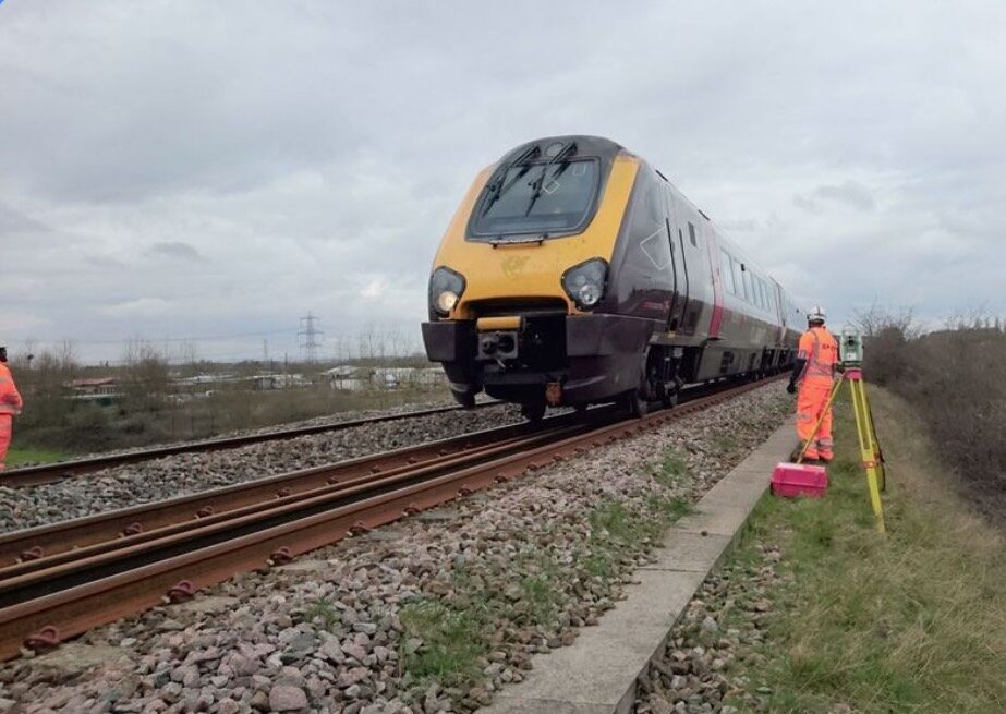
Some of our Rail Specific Services include
- Digital Twin Reality Capture of Rail Structures, Bridges and Buildings
- Track Monitoring and Remote Sensing
- Structure Monitoring and Remote Sensing
- Platform Surveys
- Culvert Surveys, Inspection and 3D Capture
- Laser Sweeps and Gauging
- Topographical and Track Surveys
- UAV Surveys and Inspection
- PAS:128 Utilities Surveys
- GPR Inspection
Highways
We have worked with primary contractors and Highways England to provide solutions to both surveys and structure monitoring for more than seven years.
Our 3D Laser Scanning and Mobile mapping has improved safety and efficiency to capture carriageway details without traffic management.
Our Highways Survey and Digital Capture takes place on any road from Smart Motorways to country lanes, for motorway resurfacing to Section 38 and Section 278 Access and junction design.
Some of our Highway Specific Services include
- Digital Twin Reality Capture of Highways Structures, Bridges and Buildings
- Road Surface Monitoring and Remote Sensing
- Road Surface Deviation Analysis
- Structure Monitoring and Remote Sensing
- Culvert Surveys, Inspection and 3D Capture
- Topographical and Highway Surveys
- UAV Surveys and Inspection
- PAS:128 Utilities Surveys
- GPR Inspection

