Services for Construction
With our innovation, technology, and expertise, we are at the forefront of digital enablement and rapid data flow to ensure the construction of buildings and structures are completed efficiently.
On some projects, we are involved from the feasibility (Topographical/Utilities/3D digital) surveys; through the implementation and construction and design verification phases; all the way to a final Digital TwinCapture for ongoing use and maintenance.
We can aid the construction phase with rapid high accuracy 3D digital capture and 360 images to enable whole project teams and stakeholders to view and comment over the internet on our cloud based system, increasing efficiency and reducing the project carbon footprint impact.
Remote Sensing
Our Remote Sensing for Construction includes:
- Fully connected LoroWAN data networks transmitted to a real-time cloud based integrated platform
- Full online database of all events
- BS7385 Vibration Monitoring
- Dust Monitoring
- Noise Monitoring
- Accelerometer Monitoring
- Tilt Meter Monitoring
- Tilt Beam Monitoring
- Dynamic Displacement Monitoring
- Wind Speed and Direction
- Weather, Rainfall and Temperature Monitoring

CONSTRUCTION SPECIFIC
Our Other Construction Specific Services include:
- Rapid 3D Laser Scanning, 360 imaging for design verification
- Site feasibility Spatial Data
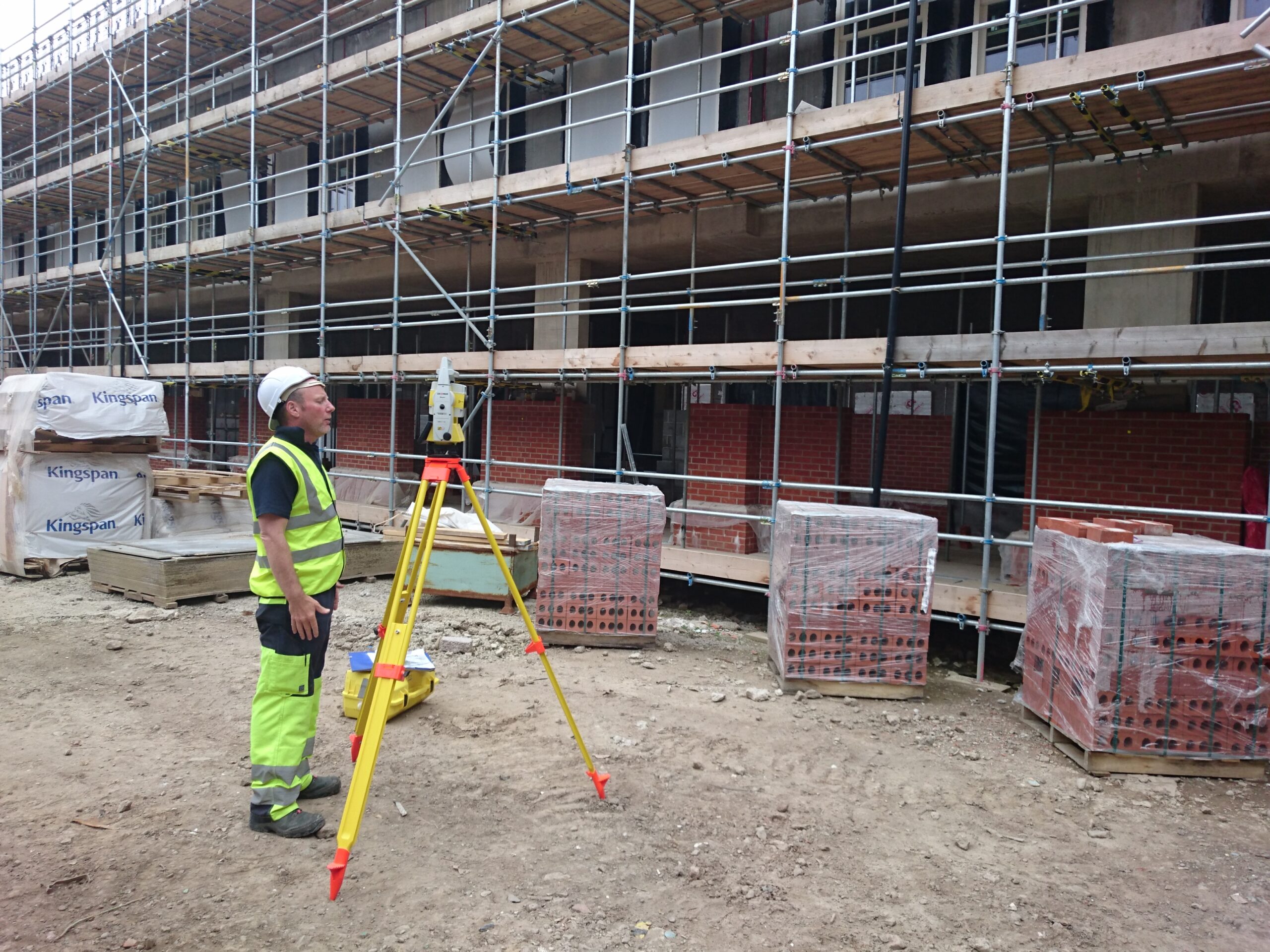
- Engineering Surveys
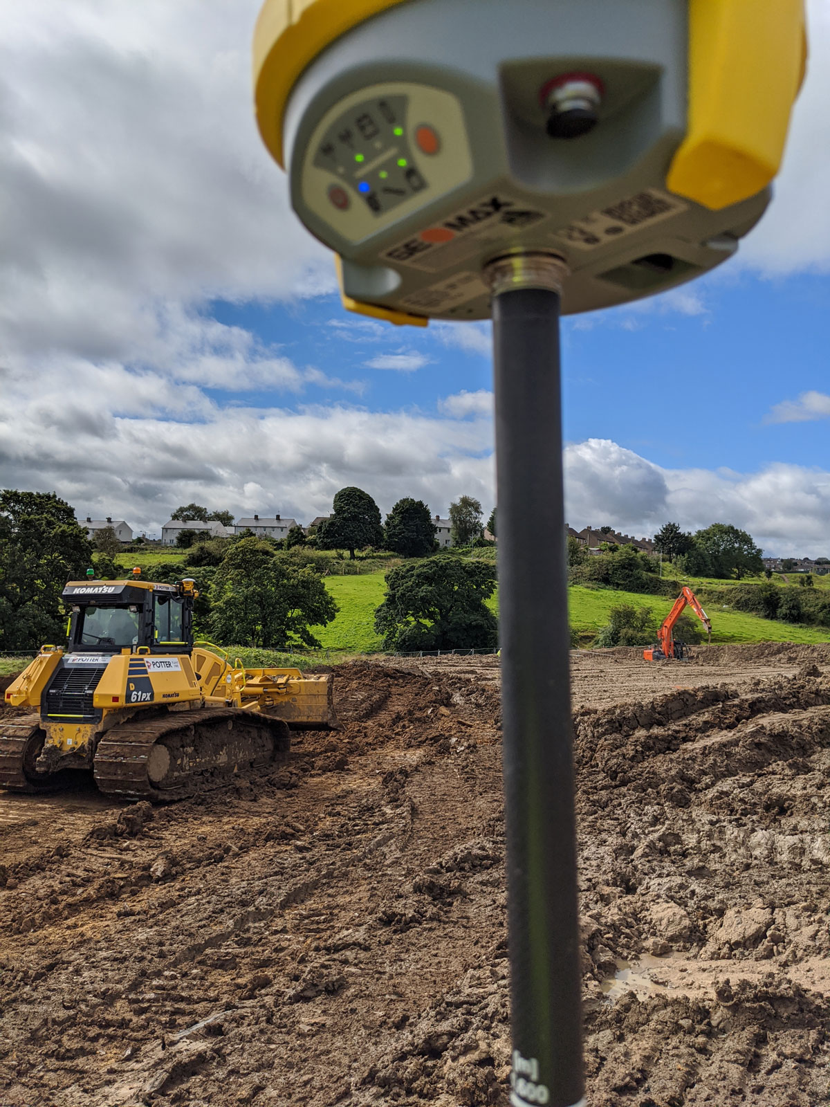
- Setting Out
- UAV Surveys and Inspection
- Time Lapse/Hyperlapse Photography/Video
- 360 Photo Virtual Tours
- Volumetric Surveys
- PAS:128 Underground Utilities Surveys
- Underground Utilities Clearance
- Concrete Floor Laying Verification
- Floor Flatness Surveys
