Spatial Data is the digital matter behind everything we produce
Spatial data is the digital capture of land, buildings, structures, or objects in 2D or 3D and is pinned to arbitrary or country-based coordinates.
Spatial data comes in many forms
Raw Survey Data

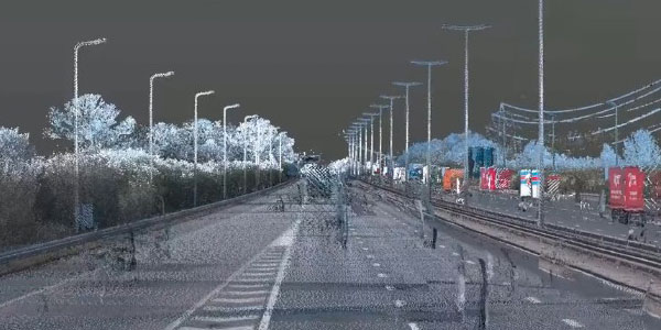
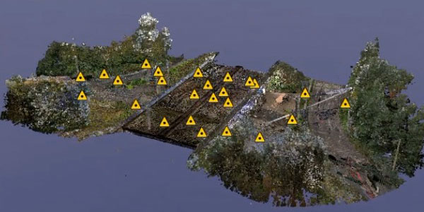
Our raw survey data can be a Digital Twin Point Cloud of a building, landscape or structure derived from 3D Laser Scanning and Photogrammetry.
Topographical Survey

Spatial data can be a Topographical Survey and digital terrain model of Landscape, Rail, Highway, Industrial or Urban areas.
3D Reality Capture

It can be the 3D Digital Twin capture of an Artefact, Statue, or Object for digital archiving and Virtual Reality exploration.
Digital Twins

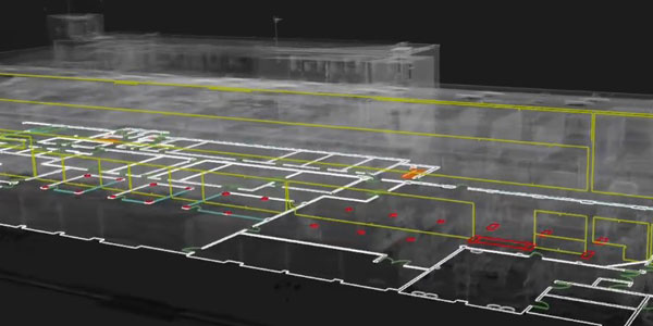
We capture Digital Twins for every single building we survey. The intelligent data we extract from that digital data could be Floor Plans, Elevations, Sections, a Revit Model, etc.
3D Revit Models

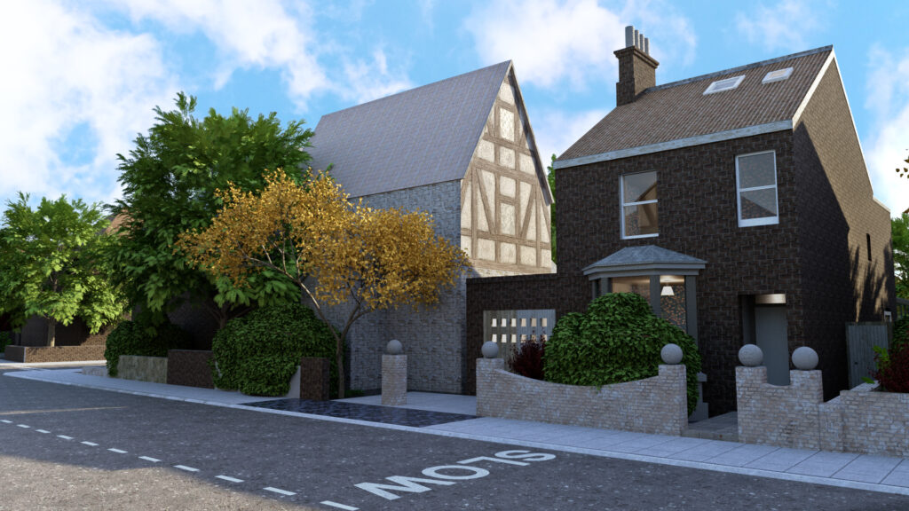
We create As-Built Revit Models from our high accuracy Digital Twin Data. These models are used for Retro Fit designs and are BIM ready.
In fact, the whole of this website, the services we provide, and the images and videos you can see are all related to spatial data.
Spatial Data Consulting
At the very beginning of a project, we can offer the best advice and long term strategy for your spatial data needs.
Our expertise will create the best workflow, equipment choices and data deliverables.
We ensure that all consultants and contractors gain the best use and value from our surveys.
After initial concepts and feasibility studies, an accurate measured survey is the essential starting point of any successful project which has a physically relationship to anything in the 'real world'.

Spatial Data Expertise
Our Spatial Data consulting is not only about capturing and working with spatial data, or about using our cutting-edge innovation, equipment and software, it is also our expertise in understanding what data a project needs.
We extract ‘intelligent data’ from a landscape or dataset to clearly represent the details and information that are critical to a project.
For example: a Topographical Survey will contain all the relevant features, levels, descriptions etc of a 3D Digital Terrain model – all of which is the intelligent data extracted by the surveyor from the landscape.

Spatial Data Benefits
The real benefit comes from 'super-charging' your project planning with state-of-the-art technology to change the way you use spatial data. Get us involved from the outset to create a spatial data strategy, and to ensure all project consultants and stakeholders are empowered with all of the data available. This ensures two major ways of producing value and cost savings:

Spatial Data Management
We offer something that will be the biggest value to the future of your project - We can ensure your spatial data is managed, cared for and monitored to ensure you or your client can keep gaining value for years to come. You can revisit this spatial data for many purposes, time after time.
Our best practice procedures and quality control will ensure that your deliverables are accurate and clear. We care about your project and will provide relevant feedback and advice alongside the service or deliverables requested.