What is a Digital Twin?
DIGITAL TWIN (dɪʤɪtl twɪn)
We capture all visible and accessible surfaces of 'real world' assets of buildings and structures digitally to high definition/fidelity/detail in colour and bring that asset to a screen or Virtual Reality with the power of various cloud and desktop software. We can then provide that digital capture of the asset or extract specific information to create drawings and models to aid design and planning.
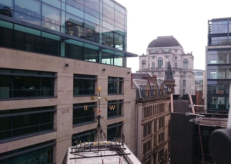
A digital version of the real thing - This is a Terra Measurement Limited Digital Twin.
Gartner defines a Digital Twin as:
A digital twin is a digital representation of a real-world entity or system. The implementation of a digital twin is an encapsulated software object or model that mirrors a unique physical object, process, organization, person or other abstraction. Data from multiple digital twins can be aggregated for a composite view across a number of real-world entities, such as a power plant or a city, and their related processes.”
Our High Accuracy Digital Twins can be used for development design, historic record, visualisation, inspection, context, Virtual Reality, Augmented Reality, Walkthrough Exploration, etc.
Our Digital Twins can Reduce your Project Carbon Footprint by providing everything other than 'touch' to project consultants and stakeholders to avoid unnecessary journeys to a site. Digital Twins also enable digital collaboration meetings.
The essential starting point for your Retrofit or Design process
We can provide the Digital Twin, measured information and spatial data for any building to the level of accuracy and detail required.
Involve us at the start of your project and we will provide the best approach and value.
We can ensure the whole project team have the best information for their needs and ensure that the building has a legacy spatial dataset for a sustainable future of preventative maintenance and management.
Measured Building Survey deliverables range from basic 2D data and plans to complex 3D models with attributed intelligent data for BIM.
An accurate survey will ensure that the retro-fit, refurbishment or design is correct first time.
Accurate spatial data is an essential part of ensuring a successful and cost-effective building or structure-based project.
Our surveys are undertaken with the latest technology and innovation to provide survey grade results.
For our digital capture, we use a combination of 3D Laser Scanners, Total Stations, Photogrammetry and UAV (Drone) Imaging.
We have an fantastic selection of innovative software packages to combine with our data capture methods to produce anything required for project delivery up to inspection quality Digital Twins.
We can produce virtual reality visualizations and tours of your building to be viewed anywhere in the world, reducing your project carbon footprint.
Our surveys can be undertaken on all types of buildings and structures. The data can be incorporated into BIM (Building Information Modelling) models and processes.


We conduct all of our surveys in compliance with the following guidance notes, where appropriate:
- RICS - Measured surveys of land, buildings and utilities
- RICS - Code of Measuring Practice
- RICS - Daylighting and Sunlighting
- Historic England - Metric Survey Specifications for Cultural Heritage
We also keep up-to-date with any other survey guidance notes provided by the RICS and the TSA.
