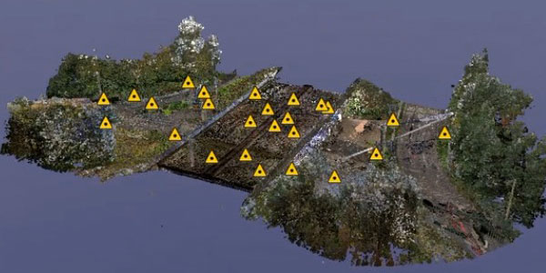
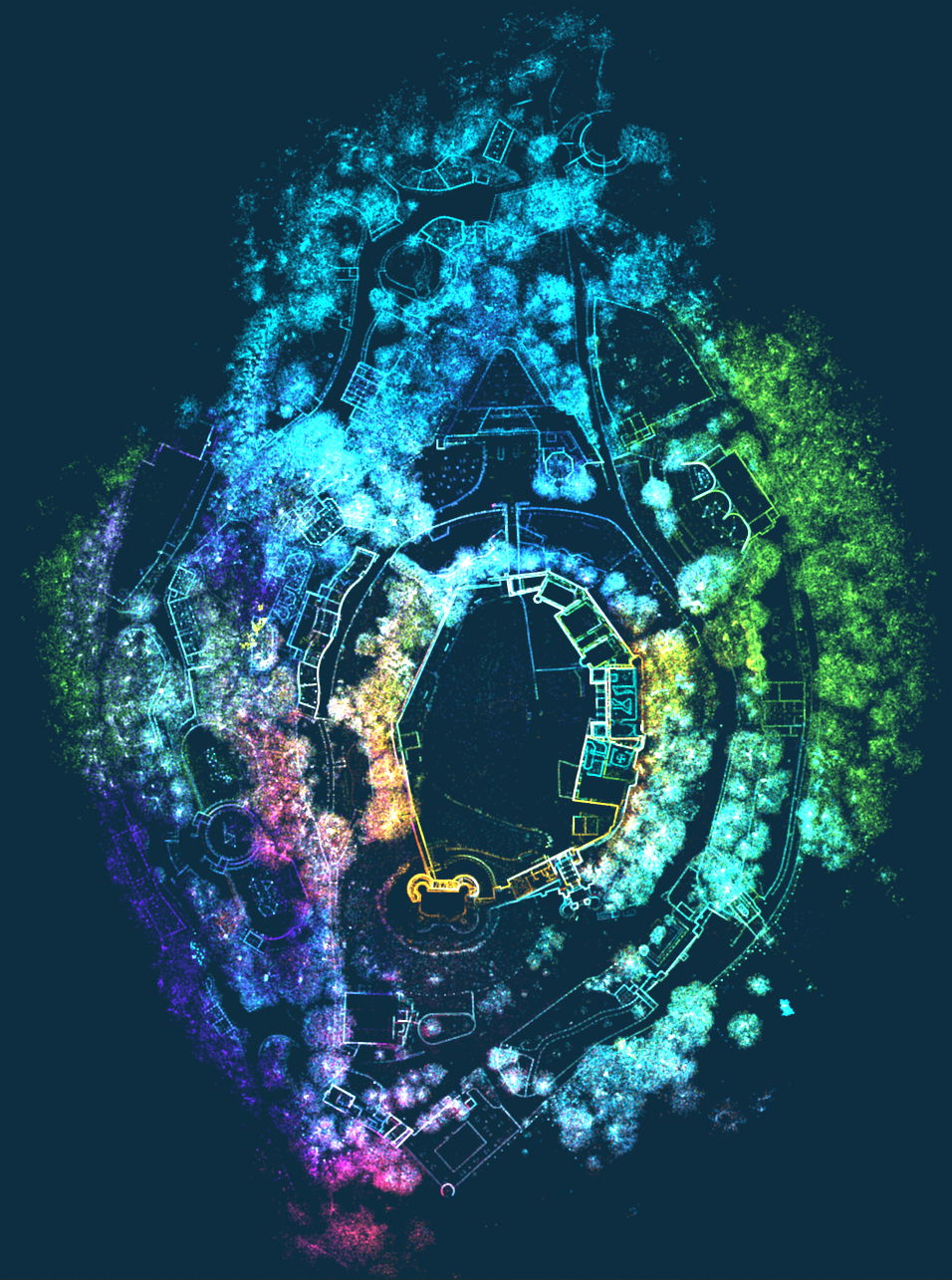
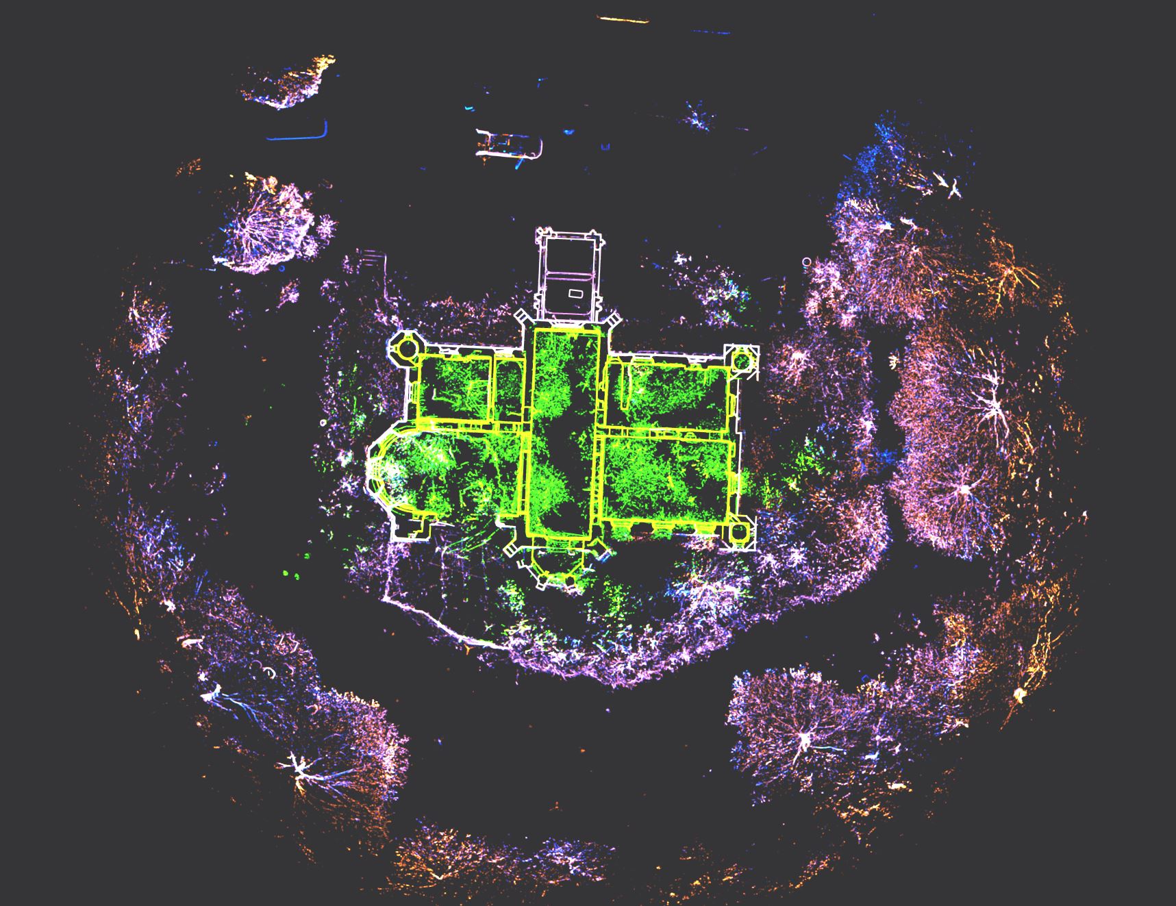
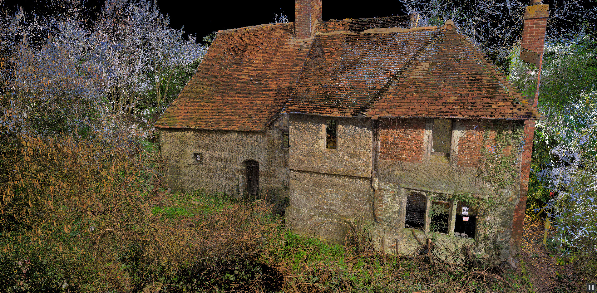
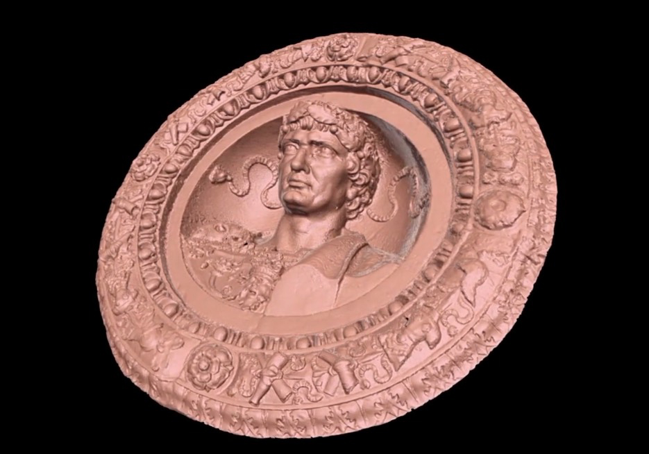
We capture buildings and Structures using 3D Laser Scanning, SLAM Scanning and Photogrammetry
3D Reality Capture is the method and technology that captures environments, structures and objects in 3D, in the form of billions of 3D points. The resulting data is called a Point Cloud. The data is captured in real-time and is the definitive measured record for many types of projects.
Point Clouds can be joined together and registered to a coordinate system (i.e. Ordnance Survey). Point Clouds can be imported into software such as: CAD packages, Navisworks, Revit and CivilCAD.
Point Cloud data is used for; BIM(Building Information Modelling), As-built checks, Measured Building Surveys, Topographical Surveys, Asset management, Low cost 3D scene visualisation, 3D modelling (of pipes, plant, buildings, monuments and objects), crime scene capture, monitoring, Rights of Light and Daylighting and Sunlighting analysis, and much more.
When 3D laser scanning, we use the following guidelines where applicable to ensure the highest quality data is produced:
- Historic England - Metric Survey Specifications For Cultural Heritage (3rd edition)
- RICS - Surveys of Land, Buildings and Utility Services at Scales of 1:500 and Larger for the 3D laser scanning site control
